River Road Commences LiDar Survey at Stobart
River Road begins helicopter LiDAR surveys at Stobart to map topography for future trenching.
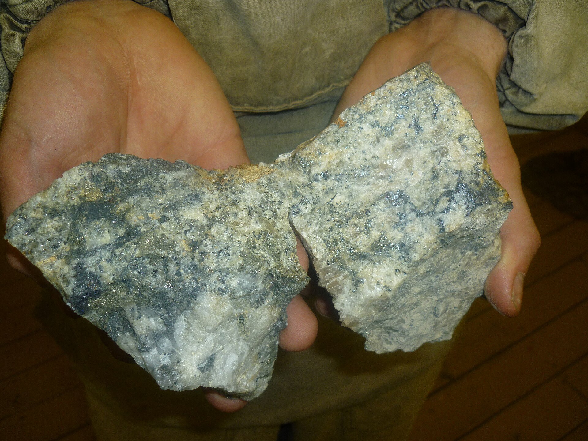
River Road Resources Ltd. announced the commencement of a helicopter LiDAR survey on its Stobart Property in British Columbia. The survey covers approximately 7.17 km² and will generate high-resolution topographic maps to guide future trenching and drilling. The data aims to identify surface disturbances that may indicate unknown workings, pits, or quartz veining.
A drone magnetics survey is planned to complement the LiDAR data and complete the geophysical database. The release reiterates the earn-in terms for a 100% interest: $15,000 paid, 2,300,000 shares (800,000 issued), and $300,000 in expenditures ($133,430 completed), with a deadline of July 2027.
River Road Resources Ltd. (RRRL) released an announcement marking a standard exploration step following its IPO and the completion of initial earn-in requirements. The update does not introduce new financial data, financing, or drilling results. The company conducted a LiDAR survey as a preparatory activity, which will not directly generate revenue or define a resource in the near term. Given the stock’s recent consolidation near multi-month lows, this routine update is unlikely to drive significant price appreciation without a subsequent discovery or capital raise.
River Road Resources Ltd. (RRRL) is a pre-revenue junior explorer focused on the Stobart gold-silver property in the Clinton Mining District, British Columbia. The property sits in the Cretaceous Spences Bridge Group, known for epithermal gold systems. Historic grab samples returned up to 5 g/t Au, and recent soil geochemistry has traced veins along strike. The company is in the process of earning a 100% interest from Nexus Uranium Corp. through cash payments, share issuances, and exploration expenditures.