Americore Resources Is Pleased to Provide a Corporate Update
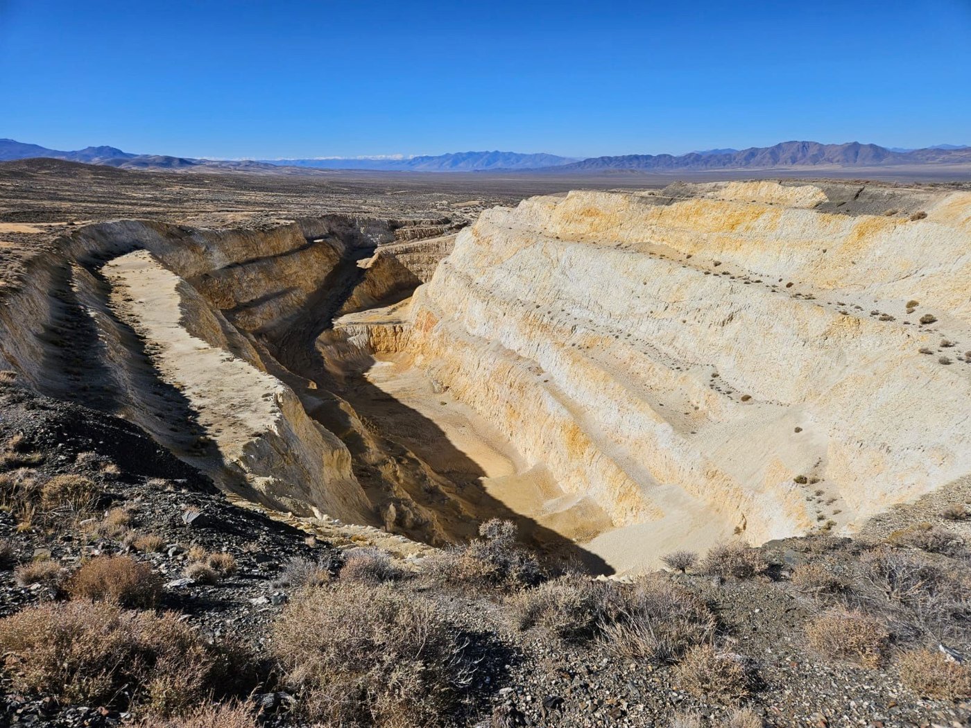
Executive Summary
- Americore Resources received and began reviewing the full dataset from a recent 350 km drone‑magnetometer survey over its 100% owned Trinity Silver Project.
- Historical core‑hole data (five holes drilled by US Borax in 1985) were uncovered, providing new silver assay intervals that were not included in prior NI 43‑101 resource estimates.
- Initial assay results show notable silver grades ranging from ~33 g/t to >185 g/t across multiple intervals within the historic open pit area.
Key Details
- Drone Magnetometer Survey
- Conducted by Pioneer Exploration Consultants (Ottawa, ON).
- Covered approx. 6 km of strike‑oriented structures (SW‑NE) centered on the Trinity open pit.
-
Total line length ≈ 350 km; data volume ≈ 300 GB now received for interpretation.
-
Historical Core Holes Discovered
- Five vertical holes (SC‑1 to SC‑5) drilled by US Borax in 1985, previously omitted from the technical report.
-
Data consist of hand‑written logs and printed assay results from USBRC; QA/QC documentation not available.
-
Core Hole Locations & Depths
| Hole ID | UTM Easting | UTM Northing | Collar Elev (ft) | Dip (°) | Total Depth (ft) |
|---|---|---|---|---|---|
| SC‑1 | 363 539 | 4 473 234 | 5 344.42 | –90 | 330 |
| SC‑2 | 363 145 | 4 472 930 | 5 260.34 | –90 | 283 |
| SC‑3 | 363 572 | 4 473 313 | 5 241.63 | –90 | 255 |
| SC‑4 | 363 494 | 4 473 185 | 5 346.03 | –90 | 417 |
| SC‑5 | 363 604 | 4 473 234 | 5 276.97 | –90 | 287 |
-
Assay Intersections (Silver Grades, g/t)
-
SC‑1: 8.5–330 ft (321.5 ft) – 65.86 g/t; 160–220 ft (60 ft) – 220.69 g/t
- SC‑2: 125–285 ft (160 ft) – 70.26 g/t; 130–175 ft (45 ft) – 174.32 g/t (top 0–125 ft mined out)
- SC‑3: 9–135 ft (126 ft) – 33.48 g/t
- SC‑4: 48.5–61.5 ft (13 ft) – 37.50 g/t; 97.5–148 ft (50.5 ft) – 20.91 g/t; 197–406.5 ft (209.5 ft) – 145.98 g/t; 244–397 ft (153 ft) – 185.94 g/t
-
SC‑5: 8–254.5 ft (246.5 ft) – 97.52 g/t; 84–154 ft (70 ft) – 128.26 g/t; 205.5–229 ft (23.5 ft) – 162.69 g/t
-
Management Commentary
-
CEO Jeff Poloni stated the upcoming drone‑survey interpretation will enhance understanding of both historic resources and alteration halos surrounding the pit.
-
Qualified Person Review
- Technical information reviewed and approved by Chris M. Healey, P.Geo., Chief Geologist & Director (NI 43‑101 Qualified Person).
Notable Quotes
“The evaluation of the drone survey over the next few weeks will allow us a better understanding of not only the historic resource but also the alteration halo extending from the pit,” – Jeff Poloni, CEO.