Drill Results
Westward Gold Announces Commencement of Drilling & Provides Update on Field Activities at the Toiyabe Hills Property, Nevada
WG · Price
Executive Summary
- Westward Gold Inc. has commenced drilling at the SSD Target on its Toiyabe Hills Property in Nevada, following the completion of a 468-metre trenching program and receipt of a BLM Work Plan Concurrence.
- Extensive 1:5000-scale surface mapping has significantly expanded the SSD alteration footprint, revealing new structural trends, silica-rich zones, and hematite-bearing alteration features indicative of higher sulfidation states.
- Multiple geochemical sampling programs and three geophysical surveys (airborne magnetic, CSAMT, and gravity) are actively underway or pending, with data processing and geological interpretations expected in the near term.
Key Details
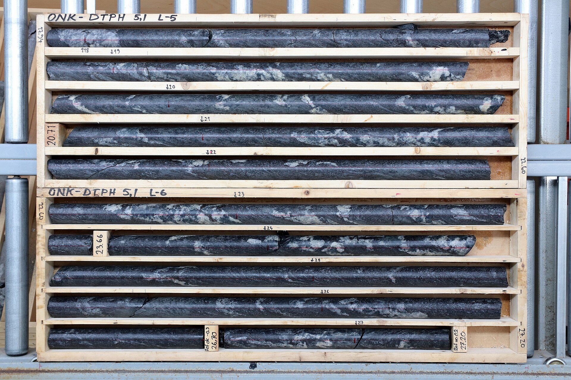
- Drilling: First of three drill rigs has begun drilling at the SSD Target; a core rig is on site, with two reverse-circulation (RC) rigs to follow from National EWP and Legacy Drilling.
- Trenching: 468-metre trenching program completed at SSD Target to accurately map structures and determine drill hole dips/azimuths; high-grade structures identified, including a dike containing a 16.4 g/t Au sample.
- Surface Mapping: 1:5000 Anaconda-style mapping ongoing across the property; SSD alteration footprint expanded north and northeast; three distinct alteration patterns verified (increasing quartz veins/stockworks northward, proximity of altered lamprophyre and quartz porphyry dikes/sills, and notable hematite/hematitic clay/barite crystals).
- Sampling: 20 hydrothermally-altered outcrop/subcrop samples collected over ~0.8 sq km north/northeast of the northernmost SSD trench; new southern ground mapped featuring northwest-striking altered dike-filled fault corridors.
- Geochemical Programs: Trenching rock-chip sampling nearing completion; soil grids at 200m spacing 75% complete (north) and complete (south); mapping and road-cut/drill-pad rock-chip sampling ongoing.
- Geophysical Surveys: Airborne magnetic drone survey data acquired and processed to define a suspected buried igneous stock; CSAMT survey (two lines at El Segundo Target) data acquired with processing pending; gravity survey data acquisition expected shortly to tie into existing Property-wide dataset.
- Technical Oversight: Robert Edie (VP Exploration) serves as the Qualified Person under NI 43-101; geophysical data being interpreted by Jim Wright of J.L. Wright Geophysics.
More from Westward Gold Inc.
Apr 27, 2026 · 07:30