Drill Results
High Tide Resources Initiates High-Resolution Drone Magnetic Survey at Labrador West Iron Project
HTRC · Price
Executive Summary
- High Tide Resources has commenced a high-resolution drone magnetic survey over approximately 1,460 hectares in the under-explored eastern portion of its Labrador West Iron Project.
- The geophysical program aims to generate detailed magnetic data to map near-surface iron oxide mineralization and refine exploration drill targets for upcoming drilling phases.
- The survey upgrades historical 2001 regional data and builds upon limited historical work, including a 2010 drill hole that intersected ~100 metres of 26.2% Fe.
Key Details
- Survey Area: Eastern portion of the Labrador West Iron Project, covering ~1,460 hectares.
- Data Acquisition: ~704 line-kilometres of magnetic data.
- Technical Parameters: Line spacing of 25 metres.
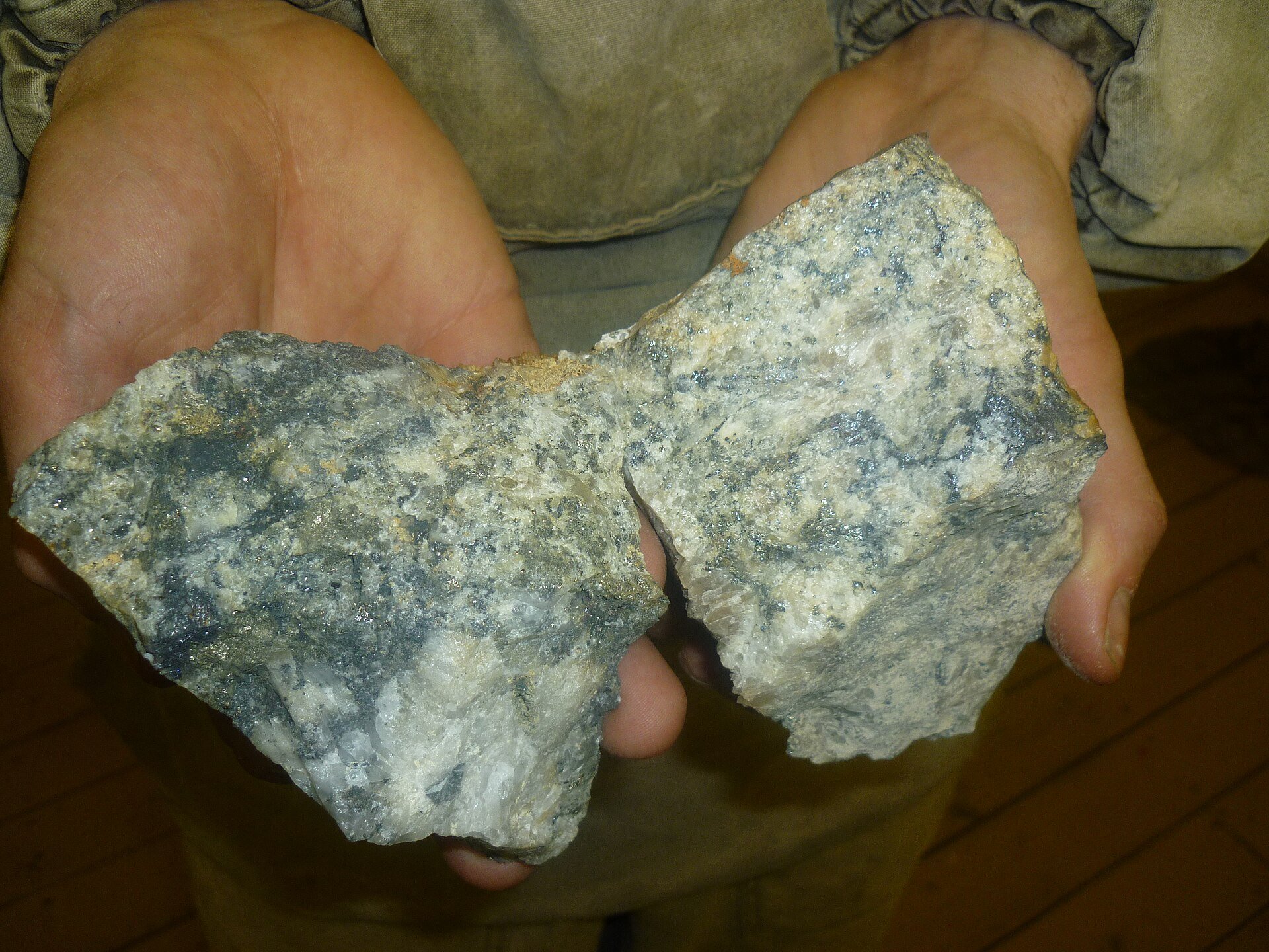
- Objective: Map near-surface magnetite-specular hematite iron oxide mineralization and refine exploration drill targets.
- Historical Context: Upgrades widely spaced 2001 IOC Total Magnetic Intensity data; historical work is limited to a single drill hole (10LB0011) in 2010 intersecting ~100 metres of 26.2% Fe.
- Exploration Status: Prospecting has significantly expanded the number and scale of potential drill targets beyond the current resource footprint.
- Project Resource Context: Labrador West hosts a NI 43-101 Inferred iron resource of 655 Mt @ 28.84% Fe, exposed at surface and pit-constrained for an open-pit mining scenario.
Notable Quotes
- Steve Roebuck, President & CEO: "Launching the drone magnetic survey marks another important step in expanding our understanding of the eastern portion of the property. This area has seen very limited exploration despite a 2010 IOC drill hole intersecting nearly 100 metres of 26.2% Fe. Prospecting has broadened the scope of potential drill targets, and this survey will help refine those opportunities with the high-resolution magnetic data. The data collected will directly support our targeting strategy as we advance toward the next phase of drilling and continue to build long‑term value for the Project."
More from High Tide Resources Corp.
Jun 08, 2026 · 07:00