Drill Results
Metallis conducts geophysical survey at Greyhound
MTS · Price
Executive Summary
- Metallis Resources completed a high‑resolution UAV magnetic survey (298 km) over the Greyhound property in central Idaho – the first geophysical program on this asset.
- Interpretation identified key structural features, including the continuity of the Greyhound shear, multiple parallel shears, and a magnetic anomaly coincident with a historic high‑grade shoot, which will be used to prioritize drill targets.
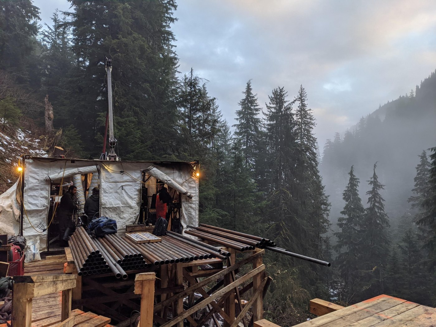
- The company plans to commence its inaugural drilling campaign in mid‑August 2026, targeting ~2,000 m across six‑to‑eight pads along the 3.5‑km shear zone, with camp construction and additional soil sampling underway.
Key Details
- Survey Execution: Conducted by Pioneer Exploration Consultants Ltd.; 298 line‑kilometre UAV magnetic survey completed.
- Interpretation Lead: Jules Lajoie (consulting geophysicist).
- Key Findings:
- Outlined the Greyhound shear beneath overburden.
- Identified multiple parallel shears and a north–south linear fabric intersecting the main shear, suggesting structural control on mineralization.
- Detected a magnetic anomaly that aligns with the historic high‑grade 1,350‑ft shoot in the Lower Rufus adit (referenced from May 21 2025 release).
- Recognized breaks in linear magnetic features as potential faults/fluid flow zones; when overlapped with soil anomalies, they become prospective drill targets.
- Integration: Magnetic data merged with existing geological and geochemical datasets to refine target prioritization and drill‑hole planning.
- Drilling Program Schedule:
- Start: Mid‑August 2026.
- Planned depth: ~2,000 m total.
- Number of pads: 6–8 along the 3.5‑km shear zone.
- Field Preparations: Camp construction in progress; follow‑up soil sampling and detailed geological mapping to focus on areas highlighted by magnetic data.
- Qualified Person: David Dupre, P.Geo., Vice‑President Exploration, has reviewed and approved all technical information per NI 43‑101.
Notable Quotes
“The completion of our first geophysical survey at Greyhound represents a significant step in advancing the project toward its inaugural drill program… The drone magnetic data has provided valuable insight into the structural framework of the property…” – Fiore Aliperti, President & CEO.
More from Metallis Resources Inc.
Jul 16, 2026 · 08:00