Drill Results
Champs d'Or en Beauce Augmente de Facon Significative sa Cible d'Exploration du Canal Paleoplacer de Saint-Simon-Les-Mines
BGF · Price
Executive Summary
- Updated technical evaluation doubles the estimated gold‑bearing volume at the Saint‑Simon‑les‑Mines placer property, now ranging from 3.86 million m³ at 0.81 g Au/m³ to 3.86 million m³ at 4.9 g Au/m³.
- The revision incorporates newly georeferenced historic drill holes (1958–1960, 1985, 1987‑88, 2021) and high‑resolution LiDAR mapping, resulting in refined exploration polygons and three newly defined deltaic targets.
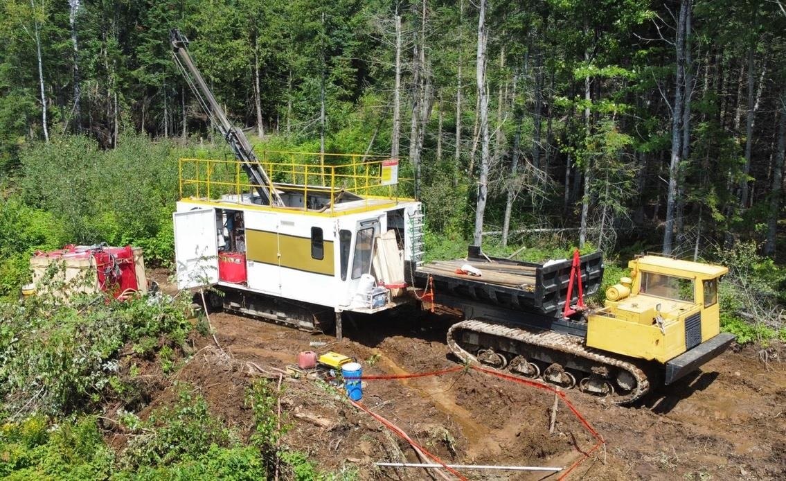
- Management plans to seek an “Autorisation pour travaux à impact” (ATI) from the Québec Ministry of Natural Resources to commence sonic drilling, bulk sampling, and further geometallurgical studies on the prioritized targets.
Key Details
- Exploration Volume Increase: Polygon model now defines 3.86 M m³ at 0.81–4.9 g Au/m³ versus 2.20 M m³ at 0.87–5.22 g Au/m³ in the 2015 estimate.
- Data Sources Integrated: Historic drill logs from Beauce Placer Co. (1958‑60), Coniagas Resources (1985), Ressources Macamic (1987‑88) and BGF (2021); over 344 original drill journals recovered and digitized.
- Mapping Enhancements: Five 1:1000‑scale paleovalley maps produced from LiDAR, enabling more precise polygon delineation.
- Geological Highlights:
- Two confirmed gold‑bearing host units – saprolitic altered rock horizon and underlying brown glacial diamicton, both with visible coarse gold.
- Three newly identified deltaic targets fed by tributaries along the Gilbert River paleochannel.
- Structural interpretation shows multiple “Saddle Reef” antiform folds associated with quartz veins and stockwork mineralization, suggesting primary source zones.
- Qualified Person: Report prepared by Jean Bernard, P.Geo., independent QP under NI 43‑101; to be filed on SEDAR.
- Management Quote (Patrick Levasseur, President & CEO): Emphasized that the updated evaluation is the most comprehensive since the 1960s and now supports a “clearly exceeding half‑million‑ounce” potential with strong indications of proximal primary sources.
- Next Steps:
- Apply for ATI to conduct:
- Sonic drilling on untested deltaic extensions.
- Bulk sampling of priority polygons.
- Continued geometallurgical and “pebble effect” characterization studies.
Notable Quotes
“It is the most comprehensive geological assessment of the Saint‑Simon placer channel since the 1960s… the system now clearly exceeds a half‑million‑ounce potential, with strong indications of proximity to primary sources in the host rock.” – Patrick Levasseur, President & CEO
Materiality Assessment: Material – Positive** (the substantial increase in inferred gold‑bearing volume and planned field work represent a materially positive development for the company’s exploration outlook).
More from Beauce Gold Fields Inc.
Jul 07, 2026 · 15:45