Drill Results
Labrador Gold samples 2.2 g/t Au at Hopedale
LAB · Price
Executive Summary
- Labrador Gold Corp. provided a comprehensive update on its 2025 exploration programs at the Hopedale (Labrador) and Borden Lake Extension (Ontario) gold projects, detailing geophysical surveys, mapping, and sampling results.
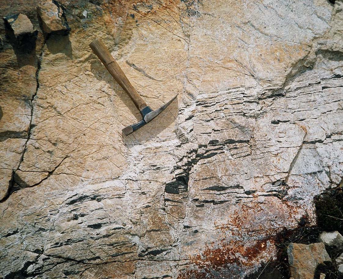
- At the Hopedale project, a 26-line-kilometre IP/resistivity survey defined a trend of moderate chargeability and high resistivity linking significant gold occurrences along the Thurber gold trend; mapping highlighted a grab sample returning 2.2 g/t Au at the Fire Ant occurrence.
- At the Borden Lake Extension, a drone magnetic and lidar survey identified a major lineament and thrust fault correlation, with 30 bedrock samples collected and pending assay results to determine future exploration steps.
Key Details
- Hopedale Project - Geophysics:
- Conducted a 26-line-kilometre pole-dipole induced polarization (IP)/resistivity survey over the Thurber gold trend.
- Line spacing was 100 metres (200 m between L3500N and L4100N) with a 50 m dipole spacing and n equals one minus eight.
- Depth of investigation estimated at approximately 200 m.
- Survey defined a trend of moderate chargeability coincident with high resistivity linking significant gold occurrences.
- A second shorter trend with moderate chargeability and high resistivity identified in the southern portion (L1900N to L2400N).
- High chargeability/low resistivity anomaly identified on the eastern side, believed to be formational and related to disseminated pyrite in metasedimentary rocks, potentially masking gold mineralized trends.
- Hopedale Project - Mapping and Sampling:
- Detailed mapping carried out over the IP grid to refine lithological contact relationships.
- Fire Ant Occurrence: Grab sample returned 2.2 grams per tonne Au.
- Last Resort Occurrence: Grab samples returned nickel values of 0.25%, 0.23%, 0.22%, 0.21%, and 0.15%.
- Results to be integrated with previous work to determine 2026 follow-up.
- Borden Lake Extension (BLE) - Geophysics and Field Work:
- Contracted Fladgate Exploration Consulting Corp. for drone magnetic and lidar survey over northern claims.
- Survey flown on 25-metre spaced lines at 50 metres elevation.
- Aimed to define contact between felsic gneisses (south) and mafic gneiss/amphibolite units (north).
- Field crews located 43 outcrops and collected 30 bedrock samples in areas covered by glacial till; no obvious mineralization encountered visually.
- Samples submitted to Agat Labs in Thunder Bay; results pending.
- Magnetic survey identified a major east-northeast-trending lineament underlain by quartz-biotite gneiss.
- Increase in magnetic intensity ~500 m north of lineament correlates with outcrops of mafic gneiss and amphibolite, matching an Ontario Geological Survey interpreted north-dipping thrust fault.
- Strategic Updates:
- Company actively evaluating opportunities in Canada; reviewed 29 resource projects and 22 preresource projects.
- Several projects identified for extensive due diligence.
- Historical Context Provided:
- Oct. 24, 2024: Announced 32.32 g/t Au at north end of Thurber gold trend.
- Feb. 7, 2024: Announced 106 g/t Au and 20.4 g/t Ag at Fire Ant zone.
- Jan. 19, 2023: Announced 21.59 g/t Au from TD500 and 10.2% Cu from Kaapak.
- Nov. 22, 2019: Announced up to 8.26 g/t gold in grab samples.
- March 13, 2019: Announced up to 11.4 g/t Au in grab samples.
Notable Quotes
- "The IP survey defined a trend of moderate chargeability coincident with high resistivity that links the significant gold occurrences."
- "The high chargeability of this unit may be masking the chargeability of the gold mineralized trends to some extent."
- "The magnetic survey identified a major east-northeast-trending lineament in the central part of the survey area which is underlain by quartz-biotite gneiss in two locations."
More from Labrador Gold Corp.
Jul 02, 2026 · 07:22