Drill Results
Black Mammoth receives drill permit for Amador
BMM · Price
Executive Summary
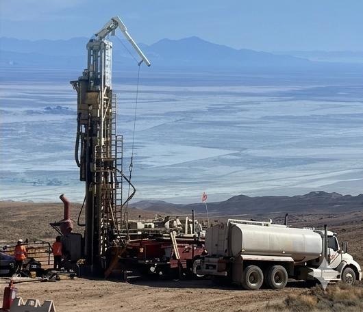
- Black Mammoth Metals Corp. has secured final regulatory approval to drill test priority targets at its 100%-owned Amador silver property in Nevada.
- Up to six drill sites have been identified on Bureau of Land Management lands, with multiple boreholes planned per site to test a high-chargeability/high-resistivity anomaly and a high-grade silver shear zone.
- The program aims to follow up on historic drilling intersections and recent rock chip sampling that returned up to 23.05 oz/t Ag, building on recent IP survey delineation of the mineralized zone.
Key Details
- Permit Status: Final approval received to drill test priority targets at the Amador silver property.
- Drill Plan: Up to six drill sites selected; multiple boreholes may be drilled at each site.
- Land Jurisdiction: All proposed drill sites are located on lands administered by the Bureau of Land Management.
- Primary Target: High-chargeability-with-high-resistivity anomaly encompassing a high-grade silver shear zone extending at least 1.22 km along the range front.
- Geophysical Context: Recent induced polarization (IP) survey with inversion model delineated the anomaly along the range front and beneath historic Amador mine workings; sulphide mineralization generates characteristic chargeability and resistivity responses.
- Historic Data: Overlapping anomaly area contains historic drilling that encountered significant silver mineralization, which has not been systematically followed up to date.
- Sampling Results: Recent rock chip sampling assayed up to 23.05 ounces per ton silver.
- Property Metrics: Amador consists of 78 unpatented lode claims covering approximately 631 hectares.
- Location: West side of the Toiyabe range, 7.3 km north of the historic silver mining town of Austin in Lander County, Nevada.
- Geological Setting: Silver mineralization is hosted in a quartz vein shear developed along a contact zone between Devonian sediments (Slaven chert) and plutonic intrusive rock.
- Technical Oversight: Mark J. Abrams, CPG No. 11451 (Qualified Person per NI 43-101), has reviewed and approved the technical content of the release.
More from Black Mammoth Metals Corporation
Jun 04, 2026 · 09:00