Production / Operations
Armory Mining To Conduct a Series of Airborne Geophysics Surveys at the Ammo Gold-Antimony Project
ARMY · Price
Executive Summary
- Armory Mining Corp. will conduct a series of airborne geophysical surveys (magnetic, electromagnetic, radiometric) over the Ammo antimony‑gold project in Nova Scotia.
- Surveys are designed with 50‑m flight lines to map sulfide mineralization, alteration zones, and potential uranium anomalies that will help define future drill targets.
- The company holds an option to acquire a 100 % interest in the Ammo property, which covers ~3,020 ha surrounding historic West Gore antimony‑gold mining.
Key Details
- Survey Types: Magnetic (structural/lithological mapping), Electromagnetic (sulfide mineralization detection), Radiometric (uranium anomaly correlation).
- Flight Line Design: Efficient 50‑meter spacing to ensure high‑resolution data coverage across the project area.
- Project Scope: Ammo property consists of three contiguous exploration licences surrounding the historic West Gore antimony‑gold mine.
- Geology Overview: Sericitic slates, arenites (Halifax Formation), Goldenville and Halifax flysch units; peraluminous granites and mafic intrusions; hydrothermal alteration responsible for gold‑antimony mineralization.
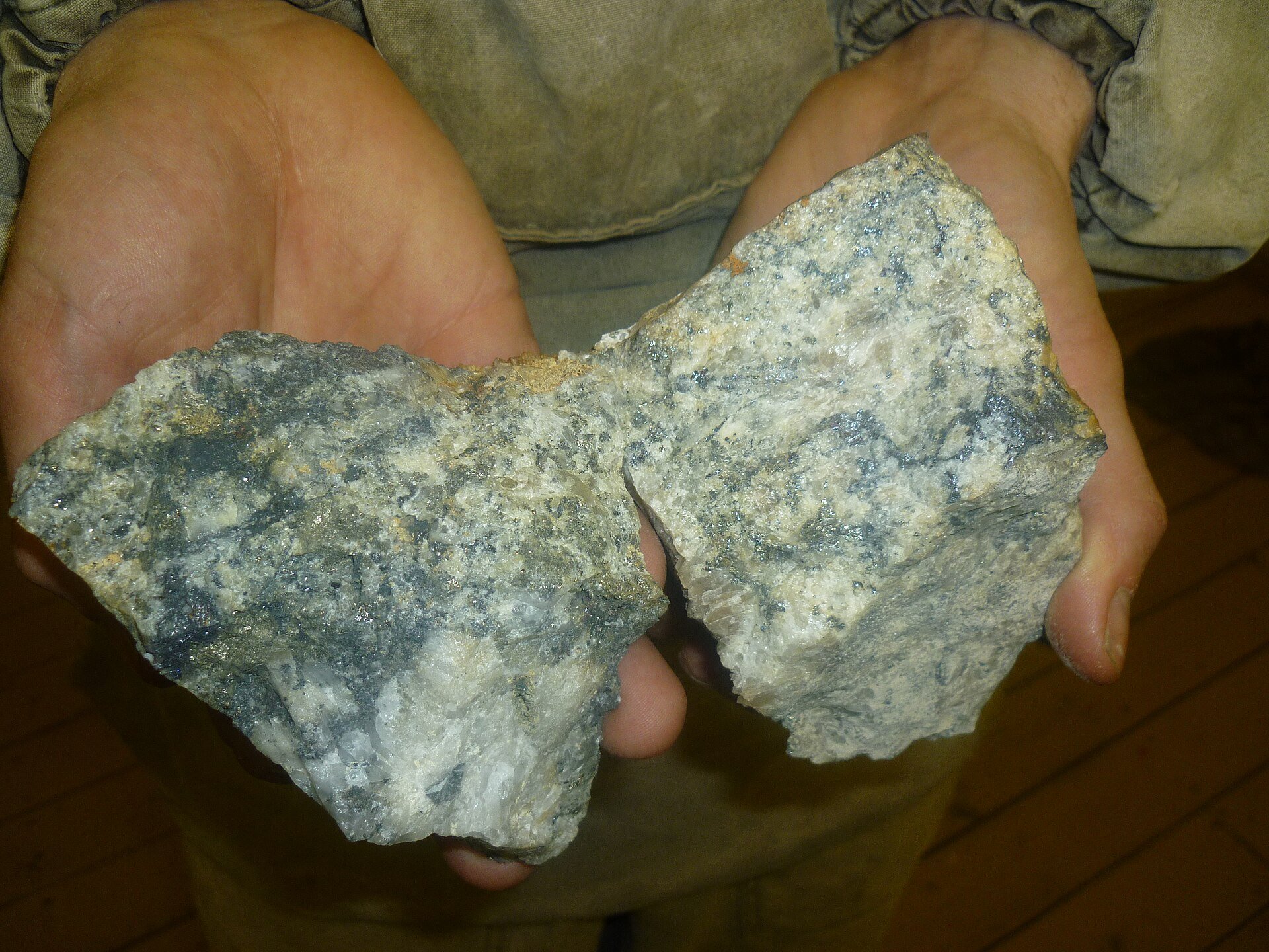
- Historical Mineralization: Vein-hosted quartz‑carbonate veins with pyrite, arsenopyrite, stibnite, chalcopyrite, galena, sphalerite; free gold (micron‑sized to nuggets up to 11 oz).
- Management Quote: “These surveys form an important part of preliminary exploration critical to defining drill targets at Ammo,” said CEO Alex Klenman.
- Qualified Person Review: Technical content reviewed and approved by Babak V. Azar, P.Geo., under NI 43‑101; historic reports were examined but not independently verified.
Notable Quotes
“The data generated by the surveys will aid tremendously in determining the best areas to drill.” – Alex Klenman, CEO & Director, Armory Mining Corp.
More from Armory Mining Corp.
Jun 19, 2026 · 17:00