Drill Results
Sampling Confirms Copper Mineralization Along 3.7 Kilometres Of Strike Length Beyond The Main Mineralized Zone At Cascade Copper's Copper Plateau Porphyry Project, South-Central BC
CASC · Price
Executive Summary
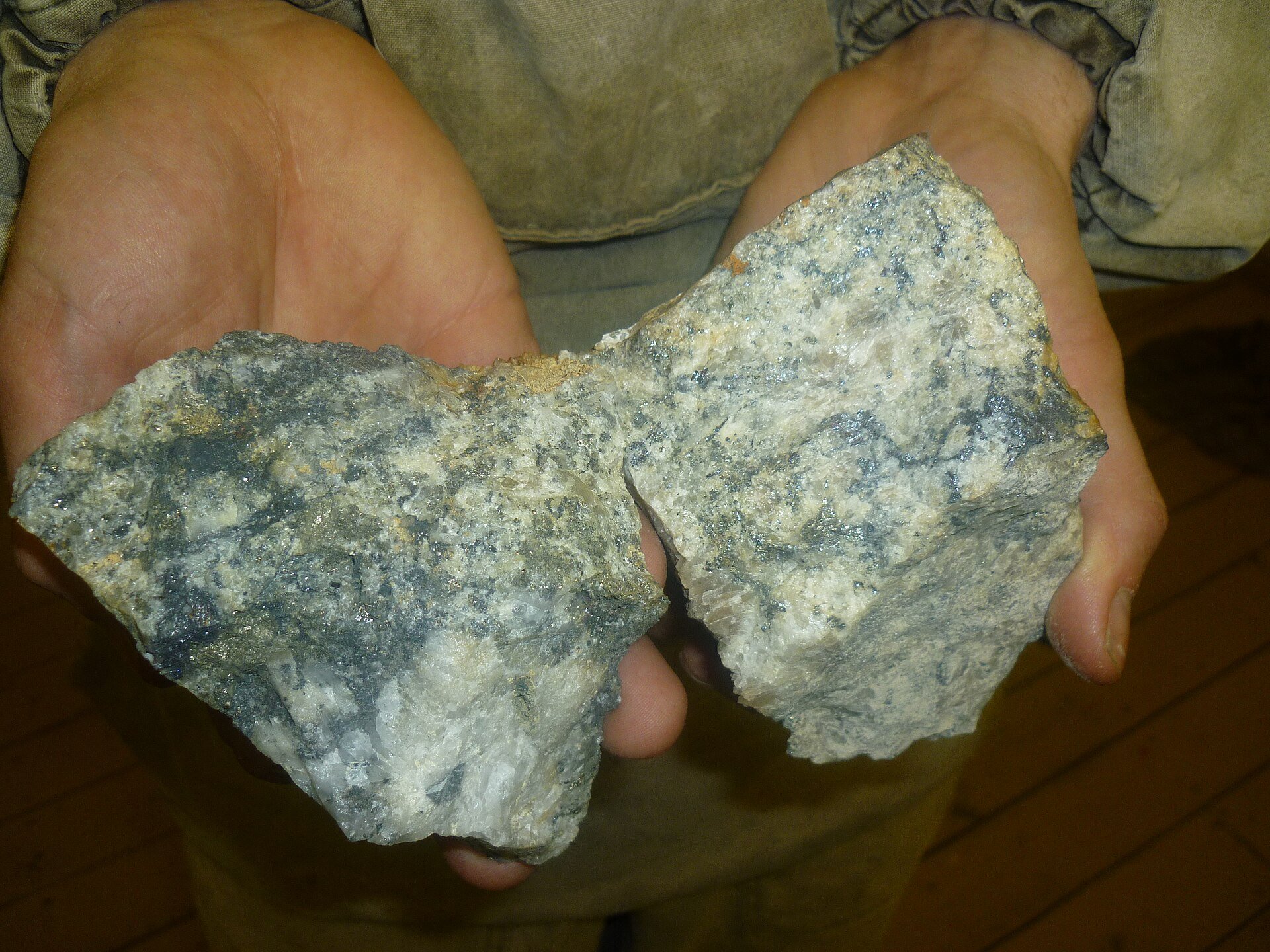
- Portable X‑ray fluorescence (pXRF) analysis of 45 bedrock chip samples from the Copper Plateau Porphyry project returned high-grade anomalous values up to 1.46 % Cu, 679.4 ppm Mo, and 88.6 g/t Ag.
- Results support the hypothesis that historic soil anomalies are sourced from significant underlying mineralization, prompting plans for fire‑assay verification, hyperspectral scanning, a comprehensive IP geophysical survey, and near‑term drilling of newly identified target zones (SW, NW, Southern Extension).
- Permit applications for diamond drilling and induced polarization surveys have been submitted; permitting is pending.
Key Details
- Sample Highlights – 11 of 45 chips showed moderate to high anomalies:
- CPRX030: 1.46 % Cu, 84.4 ppm Mo, 88.6 g/t Ag
- CPRX026: 0.63 % Cu, 13.2 ppm Mo (no detectable Ag)
- CPRX045: 0.22 % Cu, 238.3 ppm Mo (no detectable Ag)
- Detection Ranges – Elements detected from 13.5 to 14,605.3 ppm Cu, 5.7 to 679.4 ppm Mo, and 8.6 to 88.6 g/t Ag across the 45 samples; several samples were below detection for Cu (3), Mo (6) and Ag (all but 4).
- Geophysical & Modelling Work – Completed magnetic inversion model refinement showing strong correlation between magnetics, IP chargeability, historic drill intersections (>0.1 % CuEq) and surface soil anomalies; identified untested SW (A‑A’) and NW (B‑B’) target anomalies extending >1.2 km and >2.5 km respectively.
- Next Exploration Steps:
- Submit high‑Cu/Mo chip samples for fire‑assay Au and full‑suite ICP analysis.
- Conduct a wide‑spaced, deep‑penetrating IP survey over the 3.5 km × 5.5 km corridor covering MMZ and extension zones.
- Initiate Phase 1 drill program targeting down‑plunge high‑grade intersections identified in historic holes; permitting for drilling and geophysics already submitted.
- Catalog, quarter‑cut, and hyperspectrally analyze historic drill core stored in Cranbrook, BC to refine alteration and geological models before drilling.
- Technical Assurance – All pXRF work performed with an Olympus Vanta Core V2CA unit; results are semi‑quantitative and intended for initial targeting only. Qualified Person Shannon Baird, P.Geo., VP of Exploration, reviewed the technical content per NI 43‑101.
- Project Context – Copper Plateau Porphyry lies in south‑central BC near historic Brenda Cu‑Mo mine (177 Mt @ 0.169 % Cu, 0.043 % Mo) and within a prolific terrane that hosts Copper Mountain (1.13 Bt @ 0.22 % Cu) and Teck’s Highland Valley Copper (1.2 Bt @ 0.28 % Cu).
Notable Quotes
- “This exercise confirms that there is a bona fide bedrock source for the soil anomalism and gives Cascade confidence in focusing on drilling these areas.” – Shannon Baird, Vice President of Exploration, Cascade Copper Corp.
More from Cascade Copper Corp.
Jun 23, 2026 · 08:25